Powerline vegetation risk classification.
LiDAR-classified vegetation encroachment against clearance parameters, growth-rate buffers and fall-zone risk — identified and mitigated before it causes an outage.

GeoProcess Consulting specializes in LiDAR-based powerline vegetation risk classification and danger-zone pruning analytics, backed by enterprise GIS, UAV photogrammetry, topographic mapping, and automated point-cloud to CAD/BIM pipelines.
A controlled, 6-stage engineering process ensuring maximum precision.
Define corridor extents, clearance standards, and coordinate system requirements.
High-density LiDAR and multispectral capture via UAV, aerial, or mobile platforms.
Segment ground, canopy, towers, and conductors using automated AI pipelines.
Compute 3D proximity, growth buffers, and hazard tree fall-in geometry.
Review danger-zone flags with utility foresters for prioritised field execution.
Export directly to Enterprise GIS, work order management tools, and CAD/BIM.
Configurable parameters driving automated pruning work orders.
Minimum 3D buffer envelope from conductor to surrounding canopy returns.
Predictive growth modeled across seasonal inspection intervals.
Weighted scoring based on structural failure and growth aggressiveness.
Identifies tall off-corridor hazard trees that can strike conductors if felled.
* Thresholds are customized per client utility standards (e.g. NERC FAC-003, IEEE, or regional forestry guidelines).
Engineered spatial data for infrastructure asset management.
Identify encroachment hazards against clearance, growth rate, and fall arcs.
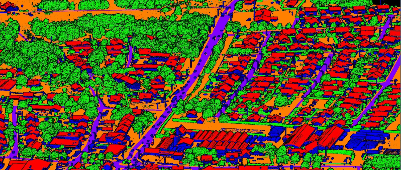
Automated feature segmentation for terrain, civil infrastructure, and towers.
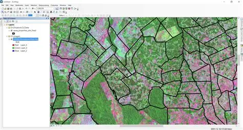
Custom geodatabase modeling, map interfaces, and operational dashboards.
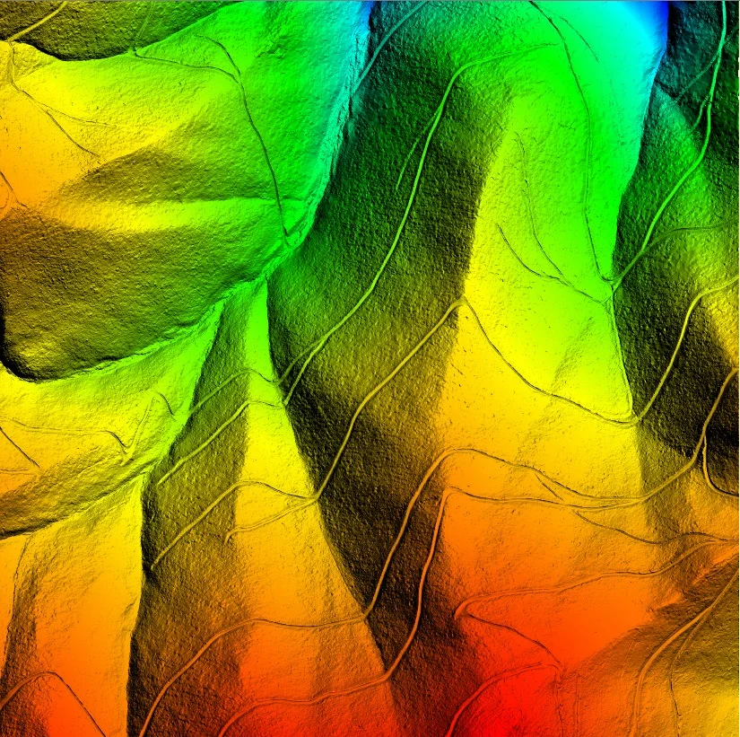
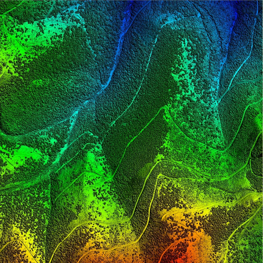
High-precision bare-earth ground filtering for hydrologic and civil modeling.
High-resolution canopy and structure envelope modeling.
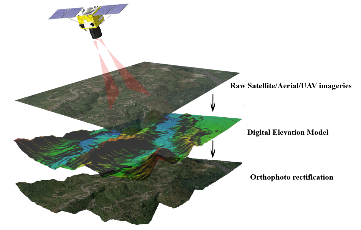
Sub-centimeter true-orthomosaics and multispectral survey workflows.
Delivering high-accuracy geospatial analytics across high-risk corridors.
Classified 1,200 km of transmission line, detecting over 350 high-priority pruning alerts before seasonal fire periods.
High-density classification delivering sub-5cm positional accuracy on conductor sags and tower geometries.
Deployed a central WebGIS portal integrating field cutting crews with live inspection LiDAR layers.
High-precision 3D classification, vegetation modeling, and asset intelligence in real-time execution.
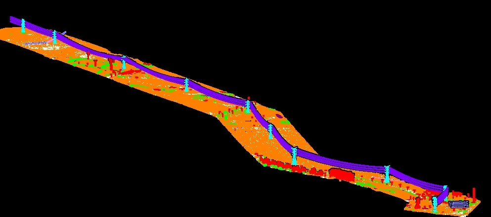
LiDAR-based danger-zone encroachment and radial clearance buffer analysis along critical utility corridors.
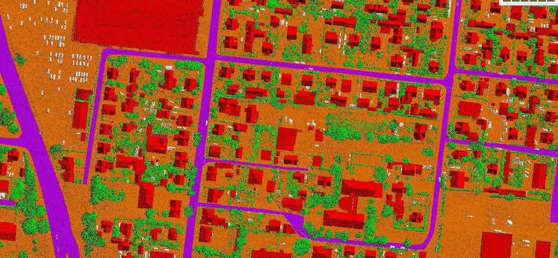
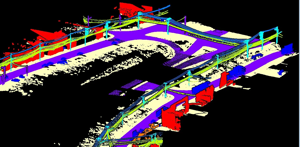
Automated point-cloud segmentation pipeline isolating conductors, towers, ground, and canopy returns.
Corridor-level point-cloud processing with precision conductor sag and structure identification.
High-density 3D spatial analytics and equipment envelope modeling for electrical substations.
Topographic channel and terrain feature isolation extracted directly from raw LiDAR returns.
Multi-attribute utility intelligence, equipment clearance verification, and CAD export pipelines.
Connect directly with our geospatial engineers for corridor risk audits, pilot scopes, or technical inquiries.